Fall Colors
Visit one of America's Best Fall Foliage Forests!
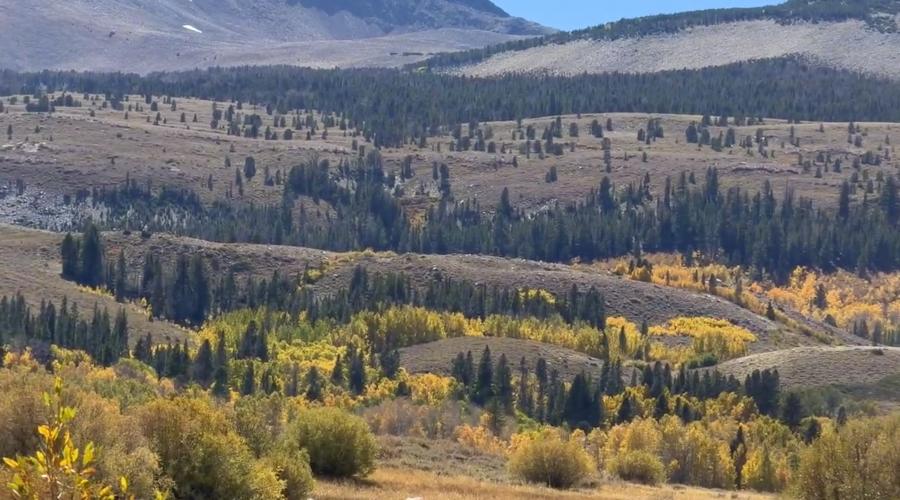
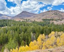
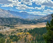
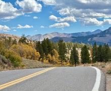
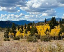
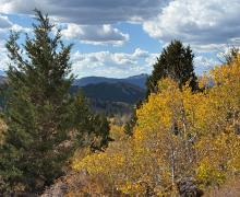
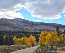
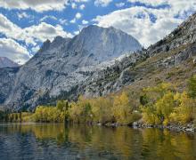
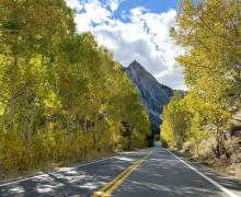
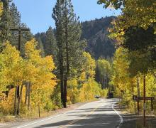
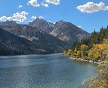
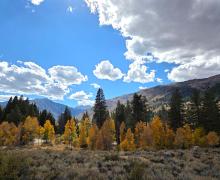
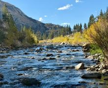
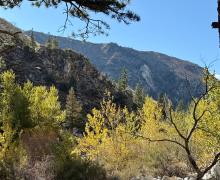
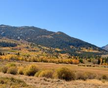
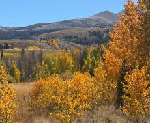
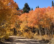
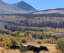
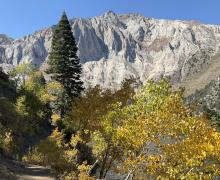
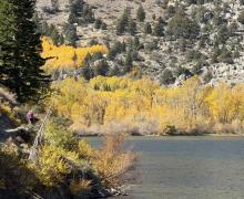
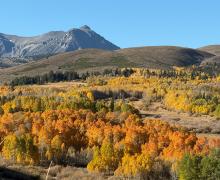
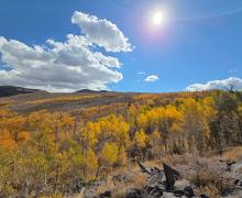
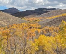
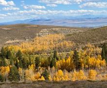
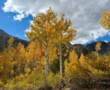
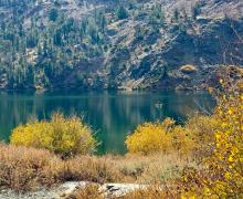
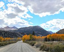
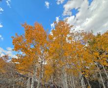
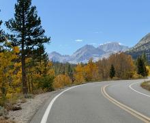
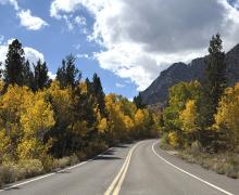
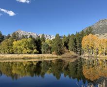
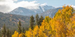
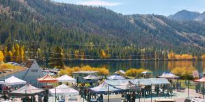
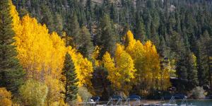
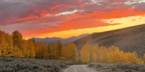
Mono County and the surrounding Eastern Sierra provide the best show of glowing golden-orange-crimson fall colors in California and the western United States. Our natural landscape in the Eastern Sierra, where rugged granite canyons are carved by rushing streams and framed by an azure sky, offers a spellbinding contrast of colors during autumn. Starting in the higher elevations and working down, the colors glow starting mid-September through October all along US 395. Travel to Rock Creek, Mammoth Lakes, the June Lake Loop, Yosemite (Tioga Pass), Lundy Canyon, Bridgeport, Sonora Pass, Walker, Coleville and beyond to see fall colors at their finest.
FALL COLOR REPORT
Report Date: October 7, 2026
(Updated every Wednesday by 6pm throughout the season)
Wait - what season is it?
After some brief storms at the first part of last week it has steadily warmed to what almost feels just like Summer. But the colors out there is a clear reminder it is fall and it is peak fall. In fact, next week Mother Nature plans to give us a harsh reminder about what season we are in. Pack layers and check the forecast often and before heading out.
If you’re coming this weekend, there are some incredible places to see colors right now. If you’re coming in the next week or two, don’t worry. We expect color in various parts of the county through October, and we’ve even had color linger into November in some years. Mother Nature, of course, gets the final say.
Rock Creek continues to show off throughout the canyon but the higher elevations (past Rock Creek Resort) are past peak. And while the middle section of Virginia Lakes is bare, the top and bottom sections are still well worth the drive. Tack on Dunderberg and make your way to Green Creek - You will not regret it!
When it comes to Lundy, the upper portion of the canyon as you hike up the trail, is literally glowing! And color has exploded around the lake and down Mill Creek. Now is the time to bask in the sun, the colors and the quiet of the canyon.
Events
This weekend, celebrate the colors in June Lake with Leaves in the Loop, October 9–11, and cheers to Bridgeport’s first annual Oktoberfest on October 10. Traveling with little ones? The Big Trees Farm pumpkin patch in Chalfant is open for pumpkins, games, and fall fun.
And don’t forget some of the classics. The road to Bodie State Historic Park is still open, and there’s some fall gold out in those hills, too. Mono Lake is always worth a stop, and we’re loving having our open connection to Yosemite National Park this fall. October 27 is a National Park Service fee-free day in honor of Theodore Roosevelt’s birthday. It’s no secret the eastern Sierra is rich with the beginning of the West, so come learn and experience history at the Eastern Sierra History conference October 23- 25. For more information and more events visit our events calendar.
Guide:
0-10% Just Starting
10-50% Patchy
50-75% Near Peak (Go Now!)
75-100% Peaking (GO NOW!)
Past Peak (You Missed It)
Locations from north to south:
WALKER / COLEVILLE / TOPAZ
West Walker River, Walker, Coleville and Topaz (5,200') - 10-50% Patchy. Walker River is still at 10 to 50% though at the high end more in the 40 to 50%. There are a few small patches that have crept into the 50 - 75% category but the vast majority is still showing green with tons of yellow. Expect this area to move within the next week or so into the next category.
Lobdell Lake Road (9,274') - 75-100% Peaking (GO NOW!). Some of this area’s color has already blown away, and the rest is quickly going to find its way to the ground. However, the color is spectacular if you want to make the drive out this weekend.
Monitor Pass (8,314') - Past Peak (You Missed It). Overall, this area has quickly moved past peak in the last week. While still a few lingering brilliant colors on display the vast majority have moved on for the season.
Sonora Pass (9,623') - 75-100% Peaking (GO NOW!). We would put this area at 94% and would not expect it to last through the weekend.
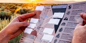
Please Note: Lobdell Lake Road is in rough shape, and we do not advise driving past the recommended turnaround spot (see map). Up to that point, you’ll enjoy big, beautiful views and have a safe place to turn around. Beyond, expect severe washouts, water crossings, deep ruts, and rough terrain—not worth it, especially since the lake itself is a low reservoir. Burcham Flat Road (county-maintained) is generally well-graded but does show some wear and tear. Best access is from the south end via US 395 (just south of Sonora Pass), though a loop can be made with East Side Lane in Walker. Keep in mind that cell service is spotty to nonexistent, and a tow would be extremely expensive.
BRIDGEPORT / VIRGINIA LAKES
Twin Lakes (7,000') - 50-75% Near Peak (Go Now!). Twin Lakes is changing quickly. What was yellow is now orange and the oranges and reds have now progressed to darker shades of those colors. If it freezes next week, it could drastically change the area.
Summers Meadow (7,200') - 75-100% Peaking (GO NOW!). The quilt of color here is preparing its leaves to blanket the ground for winter. Go now and enjoy the warmth of colors.
Green Creek - 75-100% Peaking (GO NOW!). This is the star of the week. If this is your favorite area, make plans to see it before the weather rolls in next week.
Dunderberg Meadow - 75-100% Peaking (GO NOW!). For the last two weeks we have been telling you to go to Dunderberg. If you haven’t, you can't blame us. This is likely your last chance to see these beautiful colors.
Conway Summit (8,143) - 50-75% Near Peak (Go Now!). Orange is really showing the variety of its hue across Conway Summit. There is still enough green to keep it leaning near peak, we will see what Mother Nature decides to do here after a cool spell.
Virginia Lakes (9,819’) - 75-100% Peaking (GO NOW!). This is the last call for Virginia Lakes. Beautiful colors at the top and bottom still make the drive worth it but don’t wait any longer.
Bridgeport/Lee Vining Tip: Bodie State Historic Park is still open and not to be missed – if you’re in this area, go explore the weathered streets and historic buildings at the best-preserved ghost town of the California Gold Rush!
LEE VINING
Tioga Pass (9,943') - 75-100% Peaking (GO NOW!). The aspens along the pass are still putting on a show but with weather incoming please be aware that conditions along the road could change quickly.
Lee Vining Canyon (6,781') - 10-50% Patchy. While we are keeping this in the 10-50% category, it really is at 49%. There are some heavy green groupings in the middle of the canyon but at the lower pond moving along the creek to the west the display of colors is quite fantastic. You don’t have to go far - Just stop to fill up your water at the water tanks and you’ll be treated to a perfect fall photo opportunity.
Lundy Canyon (7,858') - 75-100% Peaking (GO NOW!). The aspens around the waterfall make the whole canyon glow. Now is the time to get your hike in. The beaver ponds all the way to the Resort are absolutely stunning.
Lundy Lake - 50-75% Near Peak (Go Now!). Color has now developed all the way around the lake and down canyon through the campground and out mill creek. Lundy is a place to catch color over the next few weeks.
BENTON & 120 EAST
Sagehen Summit (8,139’) - Past Peak (You Missed It). The leaves have said goodbye for this year but adventuring in the Glass Mountains is still in. If you are in the area, you might find a surprise pocket or two.
Please Note: Sagehen Summit is a remote area accessed via dirt road with no cell service or facilities. Stop at a visitor center in Lee Vining before heading out, and bring plenty of gas and water. Wildlife is abundant here, so drive slowly, pack out all trash, and use designated parking or pullouts (never stop in the road). Enjoy the colors on foot and watch for cars and OHV riders.
JUNE LAKE LOOP
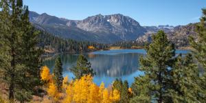
June Lake Loop/Hwy 158 (7,654') - 50-75% Near Peak (Go Now!). Areas around Silver Lake have a true lemon lime vibe. Rush Creek and the hillsides coming down to Grant add blazes of orange to the scene. The coming weeks in June Lake are going to be stellar.
MAMMOTH LAKES
Follow Visit Mammoth for the most up-to-date information for Mammoth Lakes: VisitMammoth.com
CONVICT LAKE/MCGEE CREEK
Convict Lake (7,850') - 50-75% Near Peak (Go Now!). While some bits of green can be found, the golden hue of fall is taking over the lake. This is another area we expect to keep showing off through next week as long as Mother Nature cooperates.
McGee Creek Canyon (8,600’) - 50-75% Near Peak (Go Now!) The trail up McGee Canyon is absolutely peaking. One hiker is quoted as saying “it doesn’t matter how far you’re going, it's spectacular every step of the way.” It is the lower canyon that still continues to evolve and keeps this area on the lower side.
ROCK CREEK CANYON
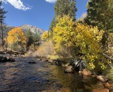
Rock Creek Road (9,600’) - 75-100% Peaking (GO NOW!). This is your last call on Rock Creek Lake and above. From Rock Creek Resort all the way down to Tom’s Place there is no shortage of color to see. But it will go fast.
Please remember that past the Pack Station, parking is very limited, especially the closer you get to the Mosquito Flat trailhead. Please do not park along the side of the road and use designated parking areas.
BISHOP & INYO COUNTY
Follow Bishop Chamber of Commerce (aka Visit Bishop) for the most up-to-date information for the Bishop area: BishopVisitor.com
EASTERN SIERRA & ALL OF CALIFORNIA
Follow California Fall Color at CaliforniaFallColor.com
Fall Color Safety Tips:
- Be aware of wildlife: Animals (like black bears) are preparing for winter and others (like mule deer) are migrating. Slow down and be cautious when driving, especially early in the morning or late in the evening.
- Park safely: Use designated parking areas and avoid parking in the middle of the road or on vegetation. Some roads are narrow and parking is very limited. We know it's hard to skip a spot, but if you can't find an appropriate place to park you may need to come back another time.
- Road safety: our roads can be narrow, winding, and have several blind spots. With so many out walking, taking photos, biking, and driving (+ wildlife!), please be especially alert on the roads. It may be tempting to Just stop real quick and grab a picture, but you never know how fast someone might come around the corner. Everybody is wrong so avoid this situation and follow the rules of the road.
- Be aware of changing weather. Weather can change quickly in the mountains; always check weather and road conditions before and during your visit.
- Please remember to Leave No Trace and always mind your Mountain Manners
- Communicate with others: many areas of Mono County have no or very little cell service. Whether you're driving, hiking, or any other activity, please let someone know where you are going and when you plan to be back.
- Stay on trails: if you're hiking this fall, please know that staying on designated trails ensures safety, protects plants and animals, minimizes environmental impact, and prevents erosion... to name just a few reasons. Camp Like a Pro and check for any alerts, notices, and fire restrictions.
2026 Fall Color Season
Photos from the 2026 Fall Color Season
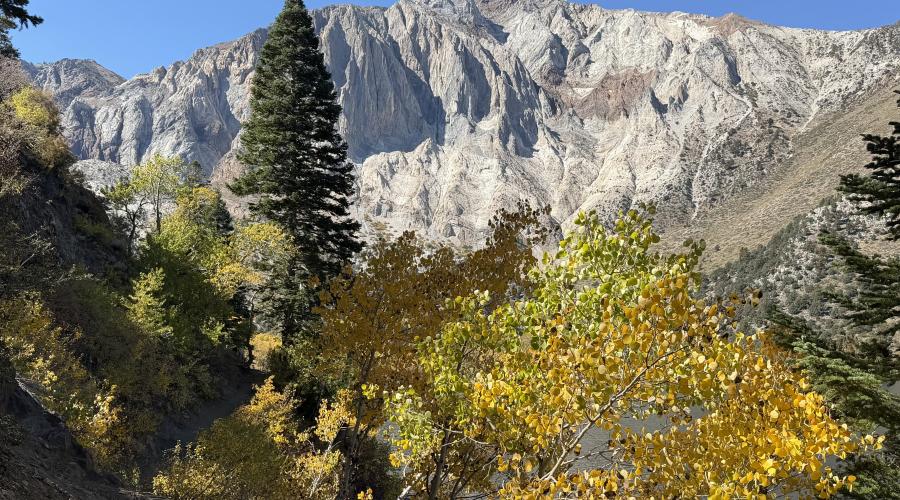
Pictured above: 10.6.26 Convict Lake - Mono County Tourism, Liz Grans
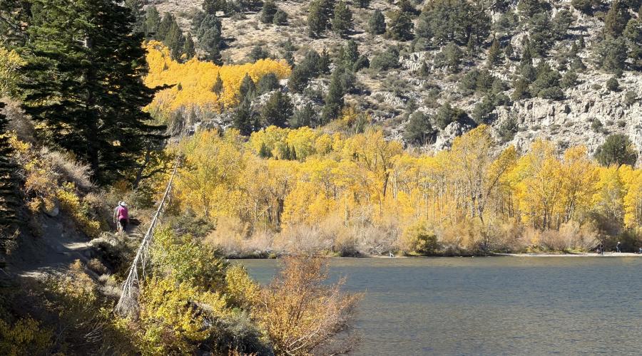
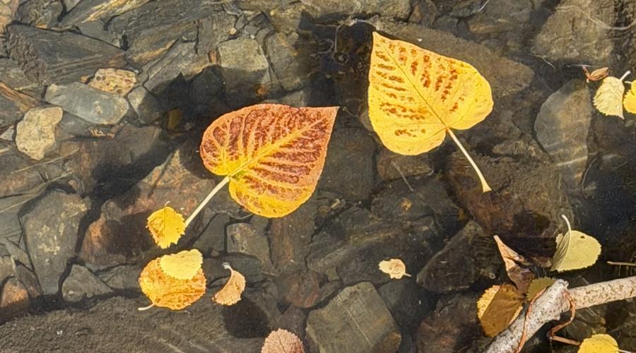
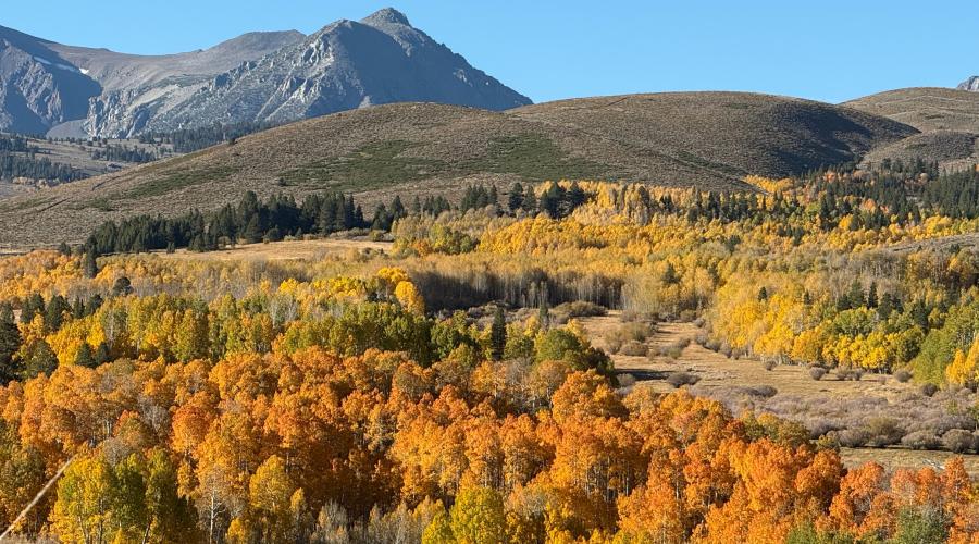
Pictured above: 10.5.26 Conway Summit - Amanda Carlson Mono County Tourism-6
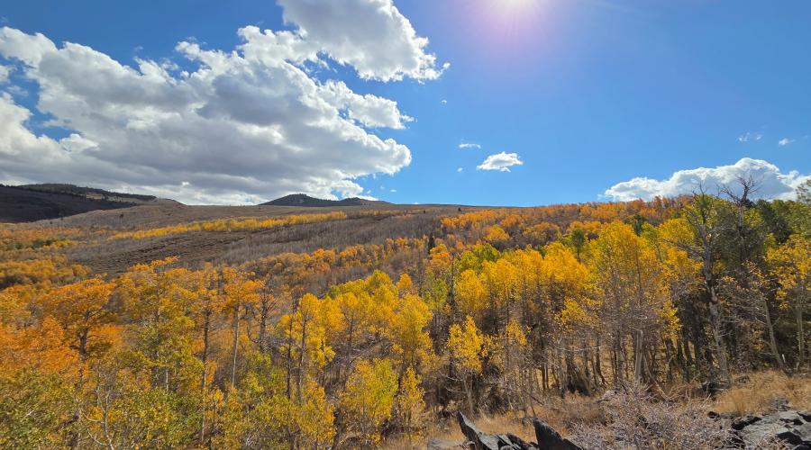
Pictured above: 10.5.26 Lobdell - Melinda Guerrero, Mono County
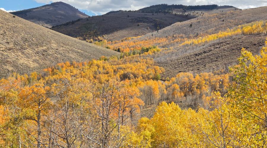
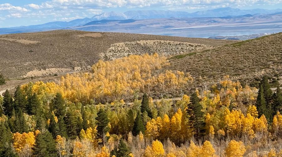
Pictured above: 10.5.26 Virginia Lakes - Amanda Carlson, Mono County Tourism
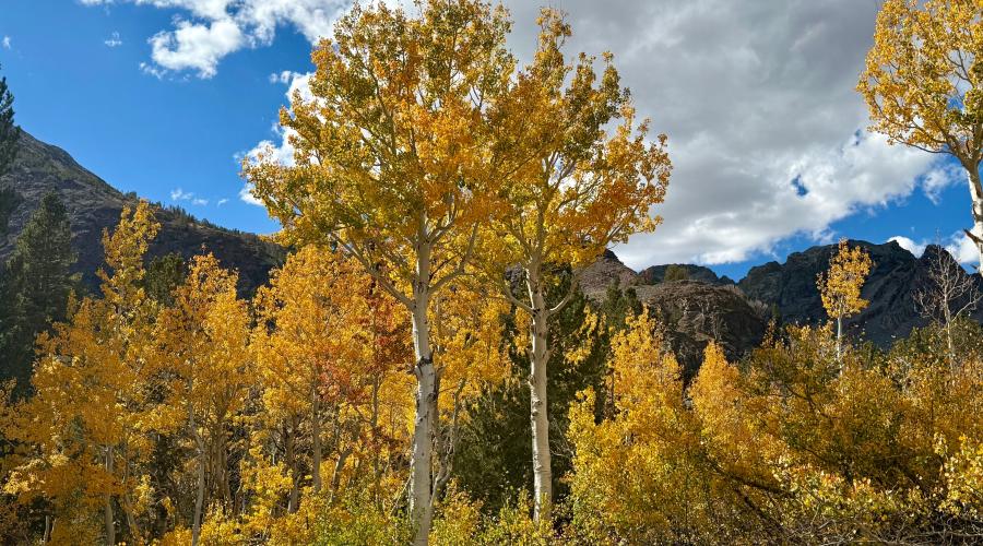
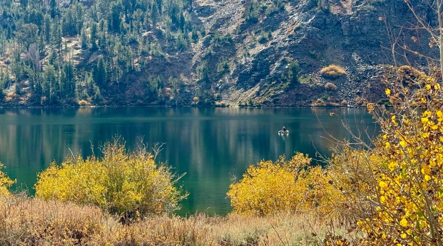
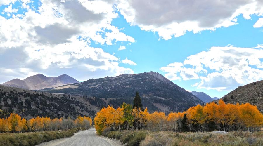
Pictured above: 10.5.26 Green Creek - Melinda Guerrero, Mono County
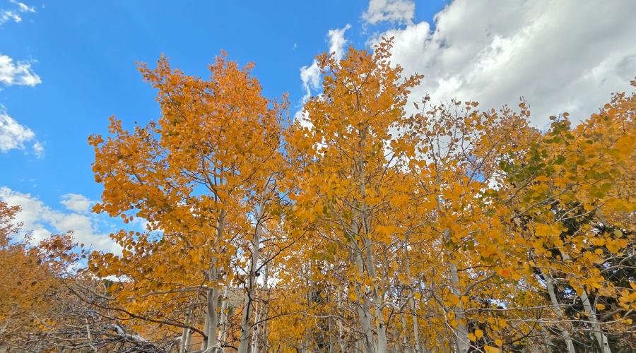
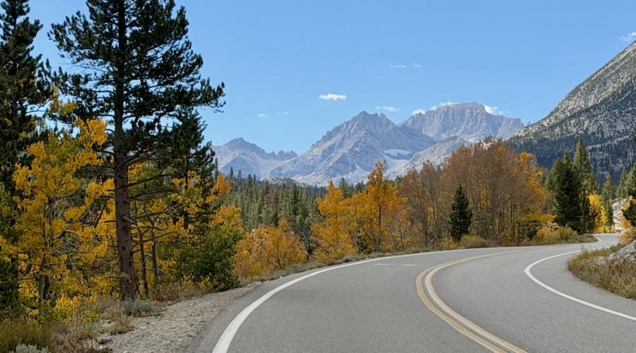
Pictured above: 10.5.26 Rock Creek - Emily Bryant, Mono County Tourism
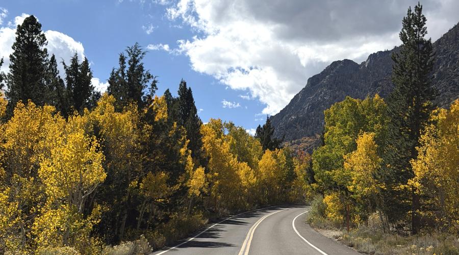
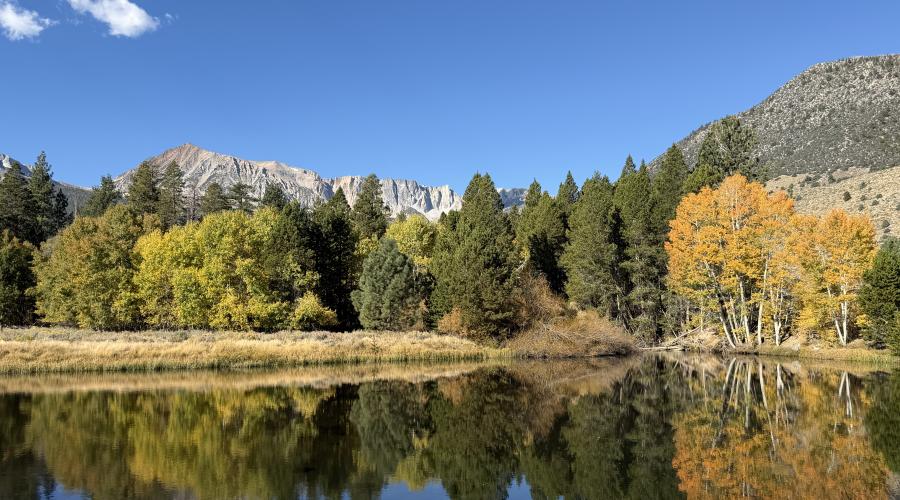
Pictured above: 10.5.26 Lee Vining Creek - Emily Bryant, Mono County Tourism
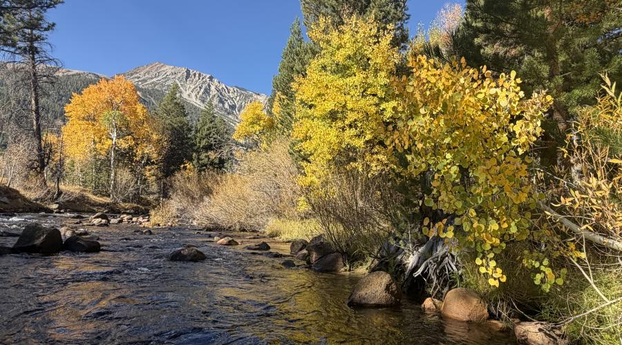
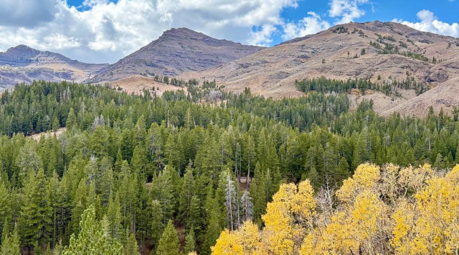
Pictured above: 10.5.26 Sonora Pass - Amanda Carlson, Mono County Tourism
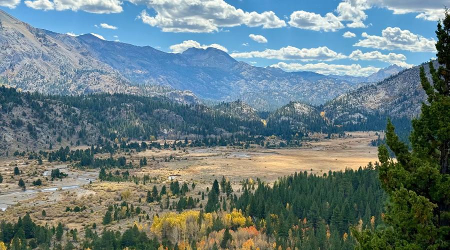
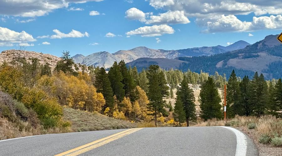
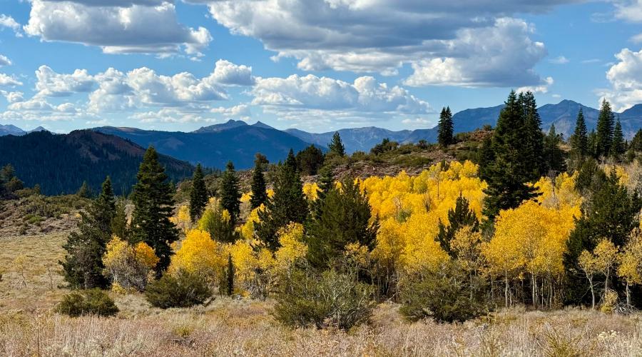
Pictured above: 10.5.26 Monitor Pass - Amanda Carlson, Mono County Tourism
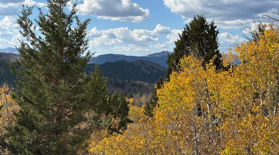
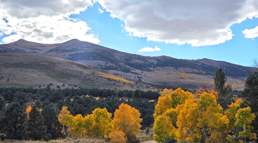
Pictured above: 10.5.26 Summer Meadows Road - Melinda Guerrero, Mono County
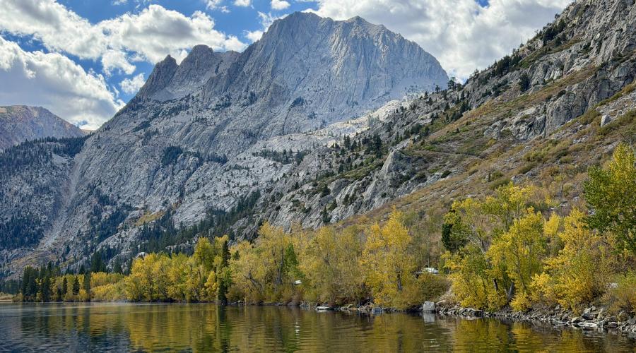
Pictured above: 10.5.26 Silver Lake, June Lake Loop - Emily Bryant, Mono County Tourism
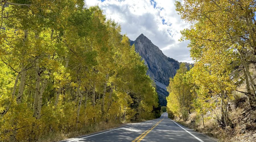
Pictured above: 10.5.26 June Lake Loop - Emily Bryant, Mono County Tourism
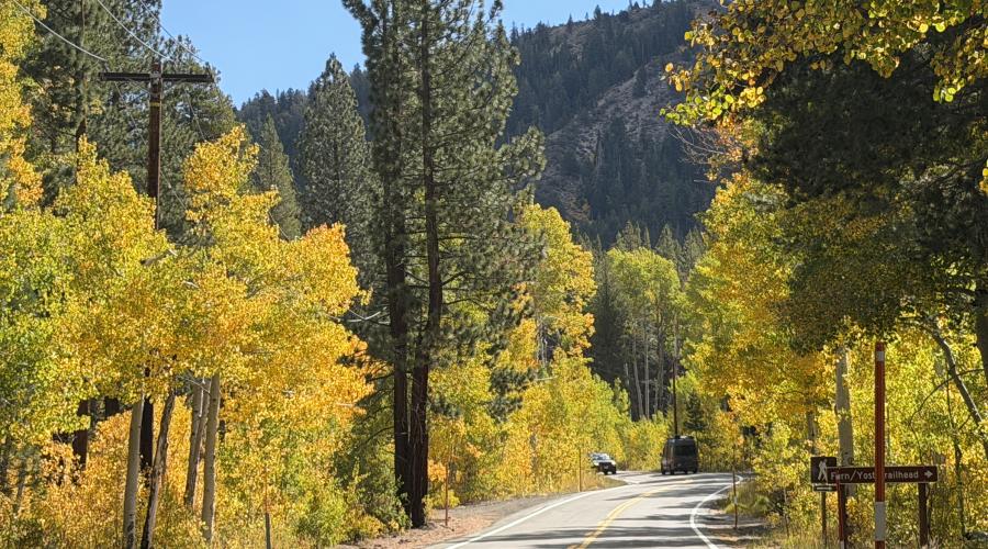
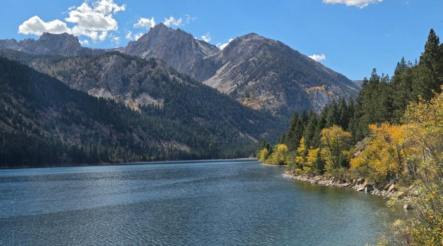
Pictured above: 10.5.26 Twin Lakes, Bridgeport - Melinda Guerrero, Mono County
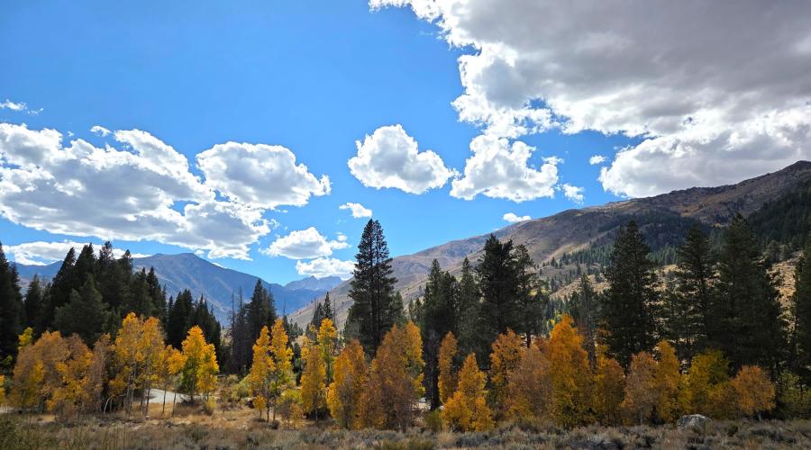
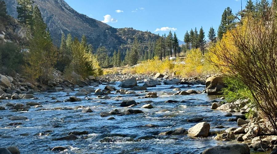
Pictured above: 10.5.26 Walker River - Amanda Carlson, Mono County Tourism
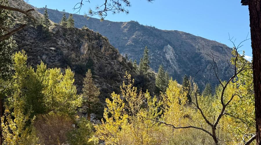
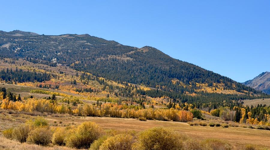
Pictured above: 9.29.26 Dunderberg Meadow Road - Emily Bryant, Mono County Tourism
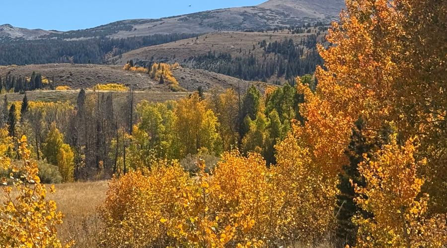
Pictured above: 9.29.26 Dunderberg Meadow Road - Amanda Carlson, Mono County Tourism
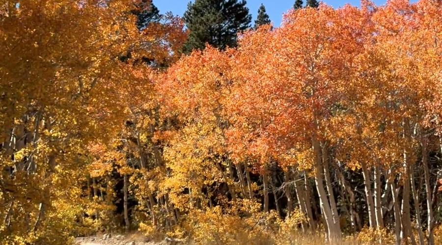
Pictured above: 9.29.26 Dunderberg Meadow Road - Emily Bryant, Mono County Tourism