Getting
to Mono County
Flying, Driving, and Regional Bus Information
Fly to Mono County & the Eastern Sierra
Advanced Airlines
Located just 12 minutes from town, Mammoth Yosemite Airport in Mammoth Lakes (MMH) is the quickest option for getting from Southern California to the slopes. Fly with Advanced Airlines from Hawthorne-LA (HHR) and Carlsbad (CLD) directly into Mammoth Lakes.
For those flying into LAX, there is a free shuttle to your flight out of Hawthorne (must be reserved in advanced).
Winter service will operate November 22, 2023 (special Wednesday flight for Thanksgiving) through April 29, 2024. Flights will be offered Thursday, Friday, Sunday and Mondays.
SUMMER 2024 AIR SERVICE UPDATE: Advanced Airlines has announced its summer schedule for direct flights from Mammoth Yosemite Airport in Mammoth Lakes (MMH) to Carlsbad (CLD) and Hawthrone (HHR). Service will run Fridays and Sundays from June 28th through September 2 (Labor Day). There will be an additional flights from CLD & HHR on Wednesday July 3rd for the holiday.
All dates and schedules subject to change without notice.
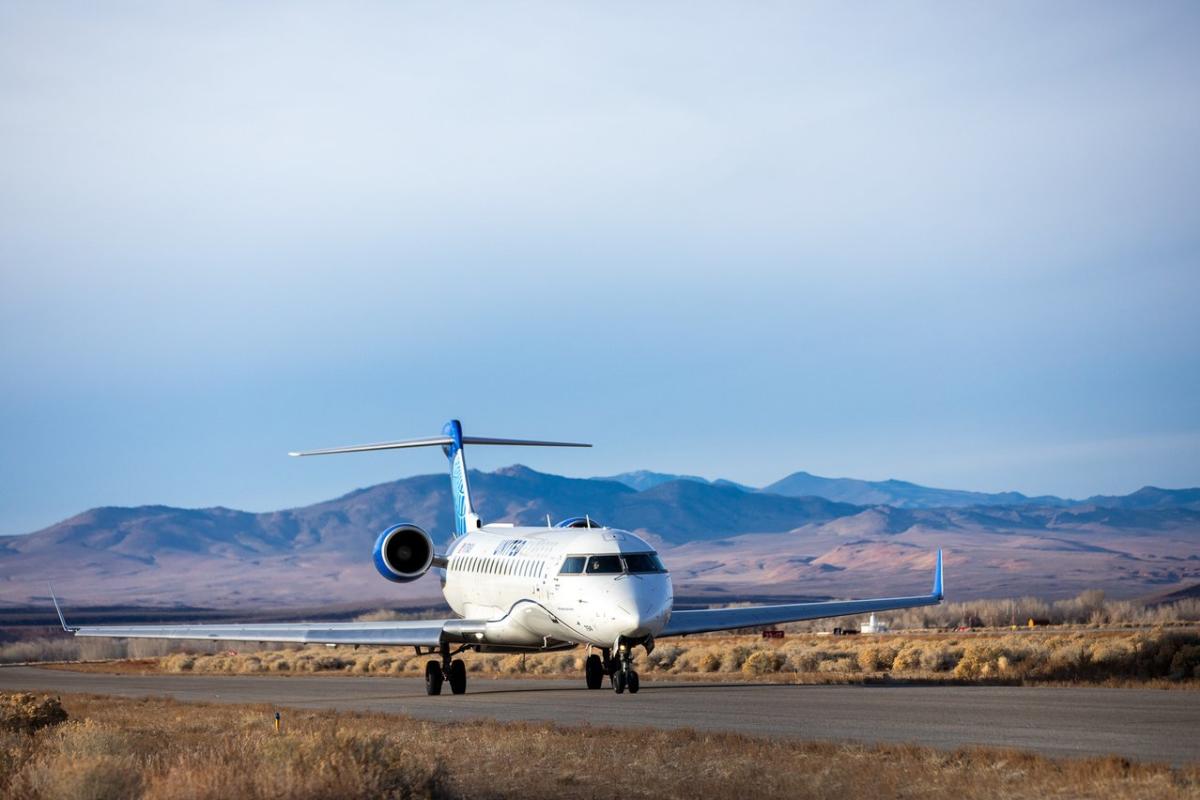
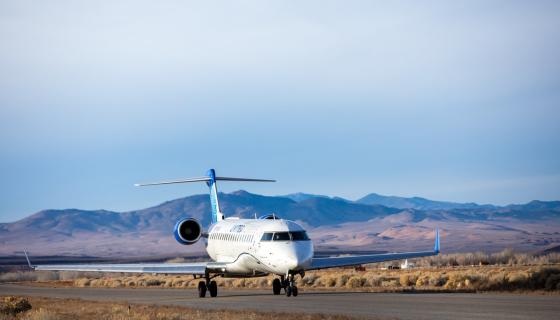
United Airlines
SUMMER 2024 AIR SERVICE UPDATE: United Airlines has announced its summer schedule for direct flights from Bishop (BIH) to San Francisco (SFO). Service will run daily from July 1 through September 2. Book Now!
United Airlines is offering flights into the Eastern Sierra Regional Airport in Bishop (BIH), just 45 minutes south of Mammoth Lakes. In the summer, fly direct from San Francisco (SFO), or you can connect from hundreds of cities across the country and around the world.
Direct flights are available this winter from San Francisco (SFO) 5-7x weekly, and Denver (DEN) daily. Fly from SFO and Denver beginning in December.
- Denver (DEN) ends daily service on March 30, 2024.
- San Francisco (SFO) runs daily through April 1, 2024 then weekends April 6-7 (Sat & Sun) and April 13-14 (Sat & Sun).
Check the United Airlines website for current flight dates and times. All dates and schedules subject to change without notice.

Transportation to and from Bishop and Mammoth Airports
Shuttles, Taxis, Rental Cars
Shuttles & Taxis at the Bishop Airport
Advanced reservations for taxis and shuttles to and from the airport are highly recommended. Mammoth Taxi and the MAWS Transportation provide transportation to Mammoth Lakes from the Eastern Sierra Regional Airport (BIH) in Bishop.
With MAWS Transportation, seats on a shared shuttle can be booked each way. Private shuttles are also available for groups of up to 5, 11 or 25 guests. Reserve your shared or private shuttle on the MAWS website.
Mammoth Taxi offers shared and private transfer shuttles. Book your reservation on the Mammoth Taxi website.
Rental Cars in Bishop
Enterprise Rent-a-Car and National Car Rental operate out of the Eastern Sierra Regional Airport (BIH).
Shuttles & Taxis at Mammoth Yosemite Airport
At the Mammoth Yosemite Airport, you’ll find a variety of transportation options for transportation from the airport into Mammoth Lakes. Choose private or shared rides to anywhere in town. Return service from Mammoth Lakes to the airport is also available. Service is limited, so advanced reservations are recommended.
Rental Cars at MMH
-
Enterprise Rent-a-Car and National Car Rental operate out of MMH.
Bus Routes & Information
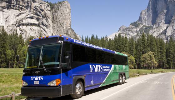
Yosemite Area Regional Transportation System (YARTS) - Public Transit to Yosemite
New: Buy Tickets Online! Purchase your YARTS bus tickets in advance!
Since its start in May 2000, the Yosemite Area Regional Transportation System (YARTS) has been providing visitors to the Yosemite region with a comfortable, economical, and convenient alternative to driving.
YARTS provides regularly scheduled public transit service into Yosemite National Park and the gateway communities along its routes in buses that are air-conditioned and equipped for rider comfort.
Eastern Sierra Transit Authority (ESTA) - Public Transit Along Highway 395
The Eastern Sierra Transit Authority (ESTA) was established in November of 2006 as a Joint Powers Authority between the Counties of Inyo and Mono, the City of Bishop and the Town of Mammoth Lakes.
ESTA offers a variety of bus services, including; deviated fixed routes, local in-town dial-a-ride services ,multiple town-to-town services throughout the Hwy 395 and Hwy 6 corridors, and interregional service (CREST) extending from Reno, Nevada to Lancaster, California with connections to the Los Angeles area.
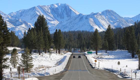
Driving Directions
to Mono County
From Los Angeles
Take the 405 freeway north to the 5 freeway north to Highway 14 north to Highway 395 north. Driving from Southern California will take approximately 6-8 hours depending on your destination within Mono County.
From San Diego / Orange County
Take the 15 freeway north to Highway 395 north. Driving from the San Diego area will take approximately 7.5-9 hours and from the Orange County area will take approximately 6-8 hours, again depending on your destination within Mono County.
From Reno / Lake Tahoe
Take Highway 395 south. Exit on Highway 203 to Mammoth Lakes. Driving from the Reno/Tahoe area will take approximately 1.5-3 hours, depending on your destination within Mono County.
From Northern California / Bay Area
Driving from the San Francisco / Sacramento areas will take approximately 5-7 hours. Depending on the season and road conditions, various routes may be taken. There are three major mountain passes which intersect US 395 from the west: Tioga Pass (CA-120) through Yosemite National Park; Sonora Pass (CA-108) from Sonora; and Monitor Pass (CA-89) from Markleeville. These Sierra Nevada passes often are closed from November through May, due to heavy winter snow. Always confirm these mountain passes to be open when travelling across the Sierra from November through May by calling 1-800.427.7623 or visit this website: Current California Highway Conditions
From Nevada
Two major Nevada state highways, NV-359 from Hawthorne and NV-6 from Coaldale Junction, enter Mono County from the east. Click here for current Nevada Road Conditions
Public Airports
The Bryant Field Airport is located in Bridgeport, California, just east of the town center. It is a small general aviation facility occupying approximately 49 acres serving single and twin-engine aircraft, as well as occasional turboprops and small turbine-powered business jets, with one paved runway (#16-34). Pilots should note that Bryant Field has aviation fuel available. Since 2006, a weather station (SuperAWOS) has been running at Bryant Field. To access real-time data, call 617-262-3825 and enter 657 for identifier (6= the letter O, airport identifier is 057).
The Bryant Field Airport is located at 76 Stock Drive, Bridgeport, CA 93517
The Lee Vining Airport is located near the intersection of Highways 395 and 120, just south of the Community of Lee Vining. The existing Lee Vining Airport is comprised of approximately 59 acres of leased land with one paved runway. **(Attention)** Lee Vining Airport does not have aviation fuel available! Please call (760) 932-5446 for more information.
The Lee Vining Airport is located at 650 Airport Road, Lee Vining, CA 93541